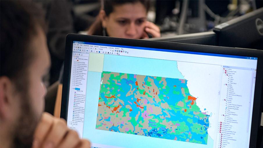
Geospatial Data Modelling
GIS data modeling is crucial for effective GIS database design and management. It helps ensure data consistency, accuracy, interoperability, and scalability across various GIS applications and platforms. By creating a well-designed data model, users can efficiently store large volumes of geospatial information while enabling complex analysis tasks like querying, buffering, network analysis, or overlay operations.
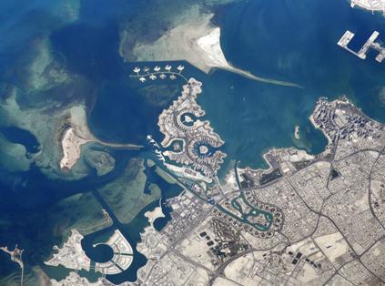
Remote Sensing
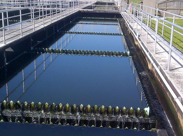
We believe remote sensing is a fundamental key to solve many social, economic, and environmental problems in our community. The remote sensing team utilizes various remote sensing data such as Visible/Near Infrared, Shortwave Infrared, Thermal, Lidar, Radar, and Nighttime data to fix problems, monitoring, and predict necessary information for different industries.
BIM / CAD
We offer 2D-CAD to 3D-BIM data conversion services. Coordinated models created with BIM enable our clients to analyze potential conflicts between all building systems. Clash Detection can be performed virtually, saving money on labor and material in the field. We collaborate with construction companies and general contractors to automate their BIM processes, resulting in optimized design and construction management processes that include details about project phasing, scheduling, and costing.
Data Conversion/Migration
With the perfect tools for data processing, migration & conversion, Our data experts help you smoothly migrate binary and convert papers, documents, spreadsheets, CAD files or any form of data to GIS ready data.
Mapping
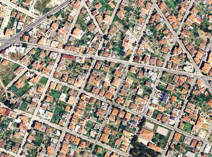
We produce a wide range of ISO-compliant digital maps with different scales and types. Production Cycle includes data acquisition, collection of ground control points, digitization, surveying, data collection, data entry, quality control and data cartographic visualization.
Geospatial Solutions & Enablement
We have many years of experience helping businesses achieve their goals through custom software solutions based on a deep understanding of their unique processes, challenges, and needs. In recent years, custom software solutions have deservedly increased their market share because of the incredible value they bring to users. Read on to learn why a custom solution may be a good fit for your business.
Geospatial Intelligence
We offer collection, analysis, and visualization of geospatial data to support decision-making in a wide range of applications. The benefits of geospatial intelligence include improved understanding of complex systems and processes, improved efficiency and reduced costs, improved safety and security, and the ability to make informed decisions about resource allocation, planning, and management
Geospatial Portals
We provide access to geospatial data, tools, and services. Geospatial portals can include a wide range of features and functionalities, such as search capabilities, data visualization tools, geospatial analysis tools, and collaboration features. By providing users with access to a wide range of geospatial resources, geospatial portals can help to improve efficiency, reduce costs, and facilitate collaboration among stakeholders.