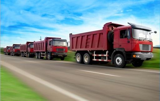
Al-Ehssa Tracking and Fleet Fencing Solution
Challenge
In the past few years, Al-Ahsa Municipality had been suffering from the absence of a system that supports their multiple business needs, as well as a unified GIS Unit that can harness the power of geographic and location based data related to the various functions of the municipality, which all came to an end with ESRI NeA's Cleaning Management Solution for AI-Hassa
Solution
Enabling Al-Ahsa Municipality to handle and monitor the cleaning tasks and the performance of the cleaning contractors dealing with it as well as tracking cleaning vehicles using advanced tracking and fleet management solutions and displaying dynamic maps that consist of streets, buildings, POl, etc... using various colors and symbols, also allowing users to apply various tools to interact with the different components of the maps such as zoom in, zoom out, identify, etc.., in addition to generating various geographic reports to give the municipality full awareness of the situation.
Key Benefits
- Avail live fleet management for cleaning teams
- Provide a Common Operational Picture of various contractors' activities and general status of cleaning activities in the municipality
- Provide contractors with live situational maps for the status of their vehicles and equipment
- Managing and evaluating Contracts through various KPis
- Increase efficiency and effectiveness of decision making

