

GIS for Managing Potable and Wastewater for Jeddah
Challenge
Every year, GDWER receives thousands of calls in its service center from people reporting issues such as burst pipes and interrupted water supply. The directorate has a duty to respond quickly to these incidents. However, it wasn't always easy to establish precisely where the problem had occurred previously. GOWER had islands of technology and silos of information around the directorate. Data was not shared and was often duplicated.
Solution
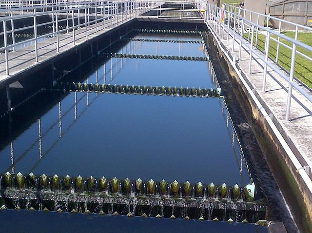
A unified spatially enabled water and waste water data model was built as the basic foundation for the project. The data model represents all water and wastewater elements, such as wells, pipes, treatment plants, fittings, and house connections. GDWER is now using the GIS solution to manage its underground assets.
Key to the success of the GDWER strategy was the implementation of the enterprise asset management (EAM) system. The implementation of an enterprise GIS system enabled GDWER to successfully integrate the EAM system and its location-based asset information, such as pipes, meters, and water treatment plants, with the associated attribute data stored in GIS.
Key Benefits
- Quicker response to any malfunctions or anomalies occurring within the well network system
- Enhanced call center capabilities were implemented using Remedy software
- New workflows were developed within the Remedy system to support the call center system
- Recording the exact location for each event in the network
- Identifying assets GDWER has at any particular location
- The system users are able to use all means of communication in the field and at the office through portable GIS applications
- Rapid dealing with emergencies in the field